Thailand boundary line
Download Thailand state boundary line data in CSV format**. For example Thailand boundary line data can be used to draw border line on Google map or polyline on equirectangular map image. Read more
Thailand boundaries on map
Note: Boundary lines on world map are drawn using data from our site. Click on flag to hide it.
[Google map] • [World map]
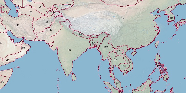

Latitude, longitude: 15.87, 100.993. Area: 198117 sq.mi. Population: 67,959,359
Notes:
** These boundaries are not official border lines of
Thailand. Read more on terms of use pages.
Country data sources: United Nations, Department of Economic and Social Affairs, Population Division. World Population Prospects: The 2015 Revision. Data are estimates and projections according to a medium-fertility variant. Retrieved 07/04/2016.
Base of boundary data: (update: www.mappinghacks.com/data/ not available any more) shape file on Thematicmapping.org, simplified using Ramer–Douglas–Peucker algorithm to reduce number of lines. Few missing border lines and corrections drawn point-by-point using: Lat-Long tool on latitudelongitude.org site.
Search
Do you like boundaries.us?
Download boundary data
Download Thailand boundaries in CSV format.
File info: 2242 lines, 25 polylines, size: 42,392 bytes