Valdez-Cordova Census Area, AK boundary lines
Download Valdez-Cordova Census Area, Alaska boundary line data in CSV format. For example Valdez-Cordova Census Area boundary line data can be used to draw border line on Google map or polyline on equirectangular map image. Read more
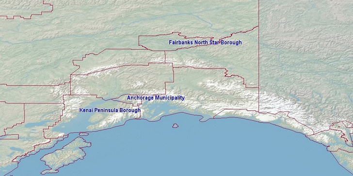
Valdez-Cordova Census Area boundaries on map
Note: Boundary lines on US counties map are drawn using data from our site. Click on flag to hide it.
[Google map] • [Counties]

Latitude, longitude: 61.35, -145.023. Land area: 34238 sq.mi, water area: 6100 sq.mi. Population: 9,362
Souces, notes:
Census.gov: County population 2015 estimated.National Counties Gazetteer File (ZIP, 131KB, Land and water area, latitude, longitude). Retrieved 10/04/2016.
(AS, MP, VI: population of 2010)
Boundary data: Since 10/04/2016 all boundary files are replaced! Old version was extract from openstreetmap.org. New: Census.gov, Polylines are simplified using Ramer–Douglas–Peucker algorithm.
Search
Do you like boundaries.us?
Download boundary data
Download Valdez-Cordova Census Area boundaries in CSV format.
File info: 924 lines, 2 polylines, size: 19,217 bytes