Western Sahara boundary line
Download Western Sahara state boundary line data in CSV format**. For example Western Sahara boundary line data can be used to draw border line on Google map or polyline on equirectangular map image. Read more
Western Sahara boundaries on map
Note: Boundary lines on world map are drawn using data from our site. Click on flag to hide it.
[Google map] • [World map]
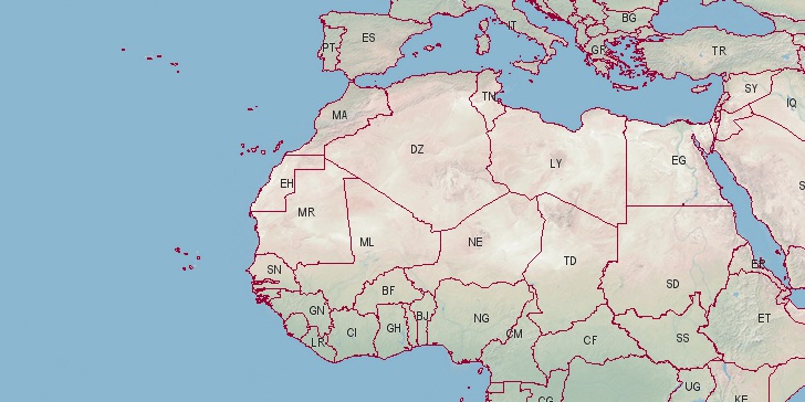

Latitude, longitude: 24.216, -12.886. Area: 102703 sq.mi. Population: 572,540
Notes:
** These boundaries are not official border lines of
Western Sahara. Read more on terms of use pages.
Country data sources: United Nations, Department of Economic and Social Affairs, Population Division. World Population Prospects: The 2015 Revision. Data are estimates and projections according to a medium-fertility variant. Retrieved 07/04/2016.
Base of boundary data: (update: www.mappinghacks.com/data/ not available any more) shape file on Thematicmapping.org, simplified using Ramer–Douglas–Peucker algorithm to reduce number of lines. Few missing border lines and corrections drawn point-by-point using: Lat-Long tool on latitudelongitude.org site.
Search
Do you like boundaries.us?
Download boundary data
Download Western Sahara boundaries in CSV format.
File info: 316 lines, 1 polyline, size: 6,102 bytes